|
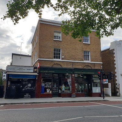
Denmark Hill is an area and road in Camberwell, in the London Borough of Southwark, London, England. It is a sub-section of the western flank of the Norwood Ridge, centred on the long, curved Ruskin Park slope of the ridge.[1] The road is part of the A215 which north of its main foot, Camberwell Green, becomes Camberwell Road and south of Red Post Hill becomes named Herne Hill, another district.
The area and road is said to have acquired its name from Queen Anne's husband, Prince George of Denmark, who hunted there. High Street, Camberwell was renamed Denmark Hill as part of metropolitan street renaming.
In John Cary's map of 1786 the area is shown as Dulwich Hill. The only building apparent is the "Fox under the Hill". The present "Fox on the Hill" pub is a hundred yards or so further up (south), on the site of former St Matthew's Vicarage adjacent to a triangle of land rumoured to be a "plague pit" or burial ground. The name of the area was changed in honour of the husband of Queen Anne, Prince George of Denmark.
The area is home of the Maudsley Hospital and King's College Hospital, and also of Ruskin Park, named after John Ruskin, who once lived nearby. The preface to his work Unto This Last is dated "Denmark Hill, 10th May, 1862". The Institute of Psychiatry is based behind the Maudsley Hospital, a school of King's College London (University of London). The college also has a hall of residence immediately east at Champion Hill.
The Salvation Army's William Booth Memorial Training College on Champion Park which was designed by Giles Gilbert Scott was completed in 1932; it towers over south London. It has a similar monumental impressiveness to Gilbert Scott's other south London buildings, Battersea Power Station and Bankside Power Station (now housing Tate Modern), although its simplicity is partly the result of repeated budget cuts during its construction: much more detail, including carved Gothic stonework surrounding the windows, was originally planned.
|